For years, Pascagoula's historic pathway pointed people at buildings. Over time some of those buildings were lost, markers went missing or fell into poor condition, and many of the remaining sites were privately owned and hard for the public to see. So you could follow the old trail and end up reading a sign in front of a house you couldn't visit, or in front of an empty lot.
The replacement went somewhere else. In early September the city unveiled "The Story of Pascagoula: A Historical Pathway" at Lighthouse Park, along the river beneath the high-rise bridge. That summer it had also put up four Blueway trailheads with their own story panels at public boat launches along the Pascagoula River and the beachfront. Every stop is a waterfront access point with a boat launch, close to where its story happened. If relatives are in town this Thanksgiving weekend, you can take them through the whole city in one afternoon.
Under the High-Rise Bridge, Nine Eras in One Walk
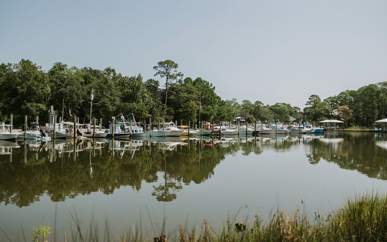
The pathway uses Lighthouse Park's existing waterfront walkway. City staff picked the park because so much of Pascagoula's history has been shaped by the water, and the walkway was already there. The signs divide the city's past into nine eras. They start with First Peoples and Colonial Foundations, move through Port Engineering, Commerce and the Early Resort Era, Railroads, Lumber and Civic Identity, and World War II and Industrial Transformation, and end with Modern Pascagoula: Port, Shipbuilding and Community.
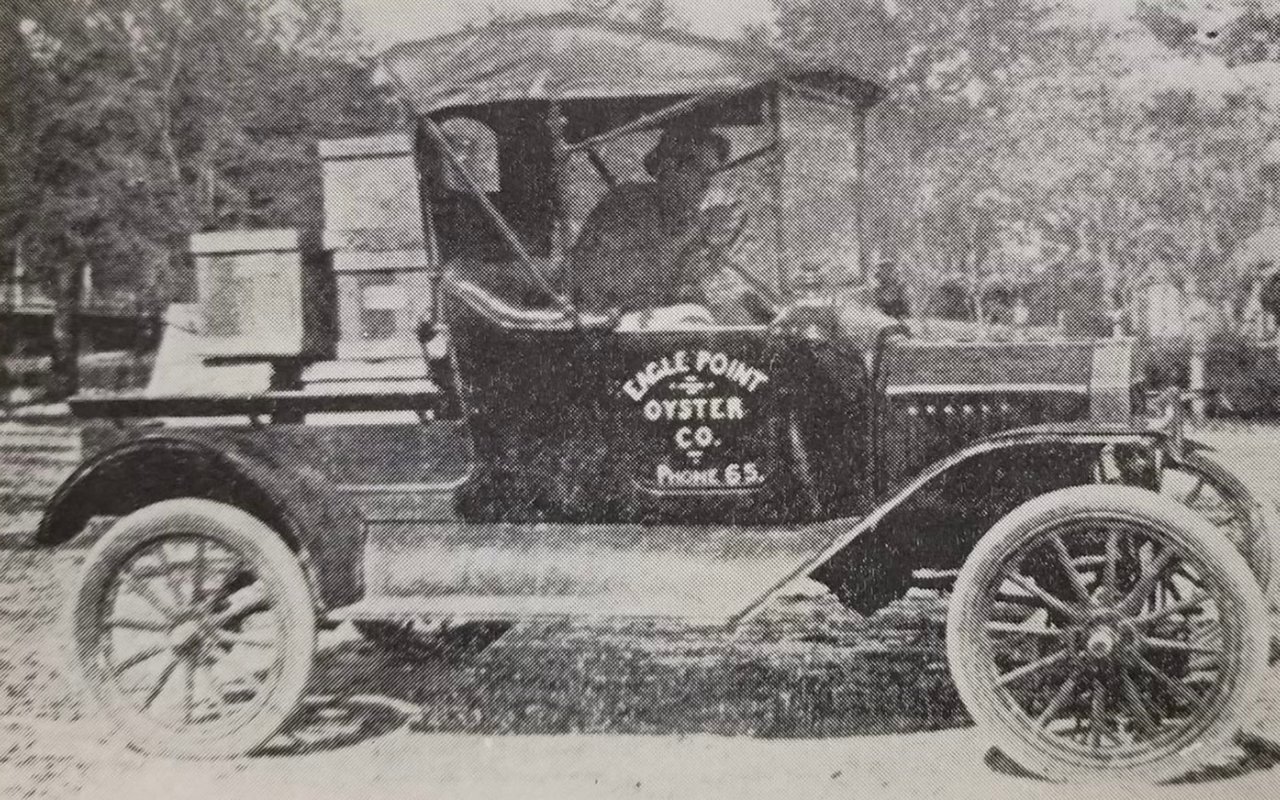
The panels hold several stories that many residents may not know. One explains how East Pascagoula, along the waterfront, and Scranton, near the train depot and downtown, joined in 1904 to form the City of Pascagoula. The signs mix historical photographs, maps and documents. Community Relations Director Lindsay Mitchell researched the history with members of the Historic Preservation Commission before she wrote and designed the panels. She told RHCJC News that even longtime residents may find something new: "Some people know this history, but I think there's a lot of interesting facts and stories that are inside of it that people often overlook or they didn't know."
The money came through a Mississippi Gulf Coast National Heritage Area grant, which also covered the Blueways work. Mitchell told RHCJC the grant totaled $80,000 at the outset, with the city responsible for half, and that the city came in well under that amount. The city's map of the route is posted as a Historic Pathway Map PDF, and you can pull it up on a phone at the first sign.
The most personal account of the opening came from WLOX. Richard Lucas of the Historic Preservation Commission told the station his father went to work for Ingalls on May 8, 1940, the year the panel identifies as the one when Ingalls "really ramped up," and that "there's a lot of people that have stories like me." In a town where so many families came up through the shipyard, a guest may find a relative's chapter on these signs. The same report quotes Mayor Jay Willis on the story behind the panels: "It's a wonderful, wonderful story and very few people have heard it." The pathway is free and open to the public.
The Lighthouse and the 1973 Story Share the Same Park
The pathway is only part of Lighthouse Park, at 815 Cypress Avenue. The Round Island Lighthouse stands there too. It dates to about 1859 and once stood offshore on Round Island. After years of hurricane damage it was moved to the mainland in 2010 and whitewashed to match its original look. Visit Mississippi describes it as standing at the city's western gateway and lists tours from 10 a.m. to 5 p.m. on Fridays and Saturdays. Those are the two days after Thanksgiving, November 27 and 28, so a lighthouse visit could fit the holiday weekend. Check ahead before you promise anyone the climb.
The park's city facility listing also includes a boat launch, fishing, a stage and a walking trail. The park also carries the story out-of-town guests are most likely to ask about. In 1973, two local men reported they had been abducted by aliens while fishing on the Pascagoula River, and the report made national headlines. The park's new Blueway trailhead panel tells that story, and a separate historical marker went up on the riverbank there in 2019, WLOX reported at the time.
Three More Panels, Each at a Boat Launch
The Blueway trailheads went in during July through a partnership of the city, Jackson County and the Mississippi Gulf Coast National Heritage Area. A Blueway is a water trail for kayakers and paddlers, mapped and marked with mile markers. Pascagoula's routes already existed. What was missing was anything on shore to point people to them. "There was minimal signage on shore encouraging people to utilize these beautiful Blueway trails," Mitchell told Our Mississippi Home. The city picked four existing access points that already had boat launches. Each trailhead has a Blueway map, route information and an interpretive panel about the history of that spot.
Each of the other three panels tells a different chapter. River Park, at 4100 Clark Street, carries the legend of the Singing River. The La Pointe-Krebs House trailhead explains why that house matters as one of Mississippi's oldest standing structures. Point Park, at 500 Beach Boulevard, covers Ingalls Shipbuilding and Pascagoula's designation as a World War II Heritage City. Point Park has four boat launches and boat-and-trailer parking for about 100, according to the city's listing. It is also the trailhead for the new Pascagoula-Buffett Beach Blueway, which follows the city's beachfront along the Mississippi Sound.
The city does not rent kayaks. Rentals and guided tours are available through the Pascagoula River Audubon Center. Visitors who stay on land can still read every panel, since each trailhead is at a launch you can drive to.
An Order for Thanksgiving Weekend
The stops work best in roughly the order the history happened. That way the afternoon follows the story from its oldest chapter to the shipyard era.
- River Park, 4100 Clark Street. Start with the Singing River legend, the oldest story on the route.
- The La Pointe-Krebs House launch. Move to the colonial chapter at one of the oldest standing structures in the state.
- Lighthouse Park, 815 Cypress Avenue. Walk all nine eras under the high-rise bridge, then the 1973 panel, and the Round Island Lighthouse if it is a Friday or Saturday.
- Point Park, 500 Beach Boulevard. Finish on the Sound with the Ingalls and World War II panel. From there the shipyard story you just walked through is in view across the water.
The route needs nothing but a car and a couple of hours, which suits the slow days after a holiday dinner. For anyone who grew up here, the Lighthouse Park signs may also be the easiest way to tell visiting family where their own grandparents fit in.
December Picks Up Where the Signs Leave Off
Two of the stops connect to dates already on the calendar. Main Street Pascagoula's Downtown for the Holidays runs Friday, December 4, from 5 to 8 p.m. It opens with the lighting of the community tree at 5 p.m. at the greenspace on the corner of Delmas Avenue and Magnolia Street. A Christmas parade of lights starts at 7:30 p.m., and the evening also has photos with Santa, performances and a Snow Village. Main Street is also collecting unwrapped toys for children in need at its office, 630 Delmas Avenue.
Two days later, on Sunday, December 6, the La Pointe-Krebs House & Museum holds Christmas at LaPointe Krebs from noon to 4 p.m., with photos with Santa, vendors and Christmas shopping, Christmas music and an Elvis performance. If you read the trailhead panel there over Thanksgiving, that afternoon is a chance to go back to the house it describes. Our earlier piece on the Pascagoula River Paddle Battle has more on the house and the river trail that ends there.
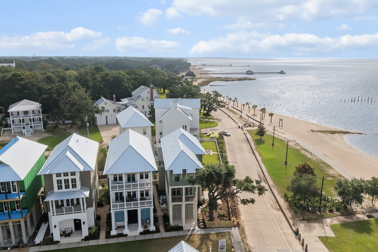
If you're thinking about a home near Lighthouse Park, River Park or the Beach Boulevard shoreline, the advisors at Rain Residential can talk through those streets with you, and our Pascagoula neighborhood page is a good place to start.